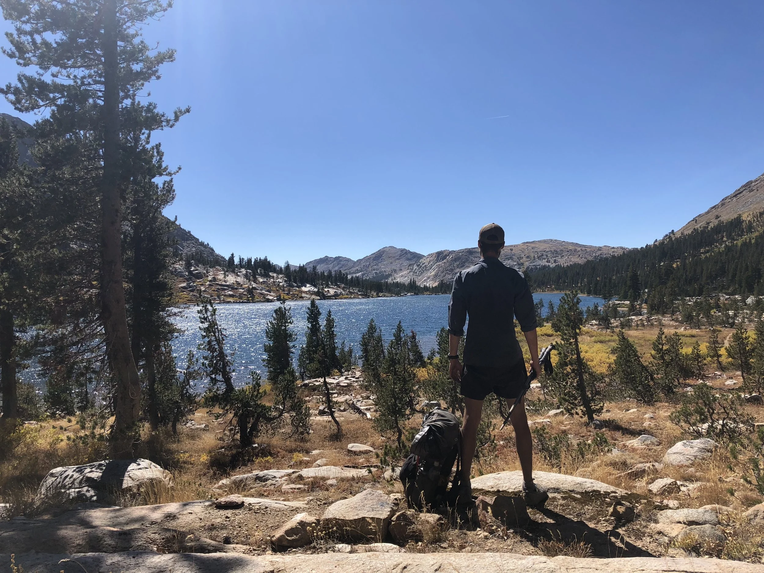
From July 18th to November 4th, 2018 I southbound thruhiked the Pacific Crest Trail. Resources around the PCT are abundant, but I found precious few designed for SOBOs with specific and actionable information. The contents below contain the information that I wish I had while planning my thruhike.
Table of Contents
Why SOBO
Permits
When to Start
How to Start
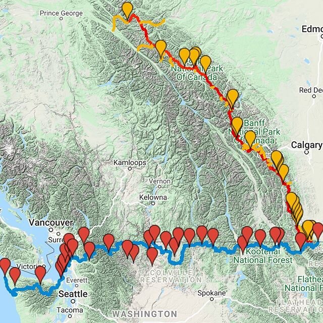
Maps
Weather
Gear Considerations
Resupplies(See my full PCT resupply plan here)
Resources
Why SOBO
Let’s start with the basics.
Since you are here, you’re probably already considering a Southbound thru-hike or section hike of the PCT. But none the less, I’d like to start with a quick review of why SOBO is the way to go because I don’t think the list I saw when I was trying to decide was totally complete.
Advantages
You can get a permit to start any day you well please because almost everyone is applying for a NOBO permit.
You can camp wherever you want and don’t need to worry about the spot you wanted to stop at being full.
You walk against the mosquito hatching season so you pass through it more quickly.
You walk against the fire season so you pass through it more quickly. Of course there are fires all over the coast so this is hard to predict.
Not a lot of rain after mid-July.
No snow, no bugs and no dangerous river crossings in the Sierra. (I think this meant I could actually enjoy my time up there more).
The desert is a pleasant temperature when you pass through, not blazing hot.
Much quieter.
Disadvantages
Much shorter timeline to get through the Sierras, about 3 months to cover 1900 miles.
Much quieter (It depends how you look at this)
Less trail magic
Hard to attend Trail Days in Cascade Locks, if you are there you are running late.
Summary
I think the advantages far, far outweigh the disadvantages. When I am asked why most people hike NOBO, I can only say they have a much more generous timeline. Otherwise I don’t know, to each their own.
Permits
PCT Permit
Getting a SOBO permit is easy, head over to the PCTA permit page and fill that bad boy out. It is free, it is simple, you will almost certainly get checked at least once. You have to get a permit for the PCT if you are planning to hike over 500 miles of the trail.
Application for SOBO permits for the 2021 season opened on January 19th, 2021.
New since 2020, the PCTA will only be issuing 15 SOBO permits for each day. This a result of the increasing number of SOBO hikers. You can read more about the change here.
If you don’t get your exact start date, its no big deal. Just get one for around the same date.
California Fire Permit
If you are bringing a stove, you will need the California Fire Permit as well. It is also free. It is basically a certificate that you took a quick online course about fire safety and know how to operate your stove. This permit is not for campfires, those are pretty much always illegal. This permit is for using any sort of stove on trail.

When to Start
The general rule of thumb is to start two weeks after the Hart’s Pass snow level reaches zero. This is usually in early July. If you leave after that, there will still be snow on the trail, there is no way to avoid it, but by then it is generally manageable.
Hart’s Pass snow data is here.
There is a balance here, leave too early and you will spend most of your time wading in the snow, leave to late and there will be serious pressure to make big miles to get through the Sierras before their first winter snow.
A Personal Anecdote
I started the trail on July 18th, I know of only one person who started after me(on the 19th), and I never saw him again after we passed eachother in Washington. July 18th is very, very, very late.
The only reason I was able to start so late was because I had already hiked over 400 miles earlier in the season. I was in top shape, my gear and food needs were well tested and I was ready to hit the ground running. Literally. Here is my daily milage for my first 5 days:
Day 1: 33.7 miles - I made it to the border on day 1.
Day 2: 37.5 miles
Day 3: 35.3
Day 4: 21.7 - This was my first resupply day, I stopped in Stehekin.
Day 5: 35.6
Even moving at these speeds I still was constantly thinking about making it through the Sierras before their snow. I had to average about 26 miles/day from the start to get through them by October 1st.
Start earlier so you have some breathing room, to get your legs under you, to enjoy the trail and to have some buffer time in case you have to slow down for an injury or other unforeseeable event. The Sierra snow waits for no-one.
Timeline to the Sierras
A SOBOs biggest time crunch is to get to Kennedy Meadows South(SOBO mile 1950.4), and be past the high Sierras before the generally accepted date of October 1st. After this, it starts to get very cold and threat of snowstorms begins to grow. No matter how you slice it, a SOBO has to eventually start walking pretty fast to make that date or even get close to it.
Here are a few timelines, based on the date you start with the average mileage a SOBO has to maintain to get through the Sierras by Oct 1st. This does not include the 32 mile walk to the Canadian border from Hart’s Pass and assumes no zero days.
Start July 1st: 21.2 miles/day
Start July 7th: 22.6 miles/day
Start July 14th: 24.7 miles/day
Start July 18th: 26 miles/day
My Recommendation
It is hard to pick a date to start without knowing that year’s specific snow data, but in general I would plan to start around the first week of July. You will likely endure significant snow and maybe some unpleasant weather in Northern Washington, but it will be worth the extra time.
How to Start
A lot of SOBOs spend a lot of time and worry on how to start the PCT. The northern most road in the U.S. that crosses the PCT is at Hart’s Pass, 30.6 miles south of the border and it is illegal to enter the USA from Canada.
My take - Don’t freak out about the extra miles, just walk them. In the context of a 2650 mile hike, what is another 30 miles? It’s nothing. Additionally, those miles are absolutely beautiful, some of the best on the whole trail. It’s a treat to get to walk them twice. Don’t fall in with anyone else wondering about alternate routes, boats, or coming from Canada, just hike up from Hart’s Pass. You’ll be happy you did.
Next, getting to the pass. Truly there is no perfect solution here. Friends and family are the best option but if you don’t have those spend some time on the PCT Sobo 2019 Facebook page and ask around. Each year there are trail angels and hikers near Seattle who are happy to give a ride.
New in 2021 is a service names Yellow Blaze Transit that shuttles hikers between Seattle, Mazama and Winthrop. As far as I know, this is the only readily reliable service for getting up toward the trailhead. Check them out here.
Here are a few of the Facebook pages that rides can be found on:
Pacific Crest Trail Angels
PCT Trail Angels
I know, it’s unsatisfactory. I wish there were a more concrete option, but you are hiking the length of the United States, you will get used to uncertainty.
Maps
I keep it simple. Download the Guthook’s app for your phone and purchase the PCT bundle. If you want you can also use Halfmile. I like Guthook’s because of the actual topographic maps and the user comments, these make a huge difference when determining conditions like the current state of water sources.
If you prefer printed maps, power to you. I don’t think I ever saw a thruhiker using them. They weigh extra and are less adaptable than the digital ones. I hiked the whole trail using only the Guthook’s apps and never needed anything else. If you are looking for printable maps, Halfmile has them here.
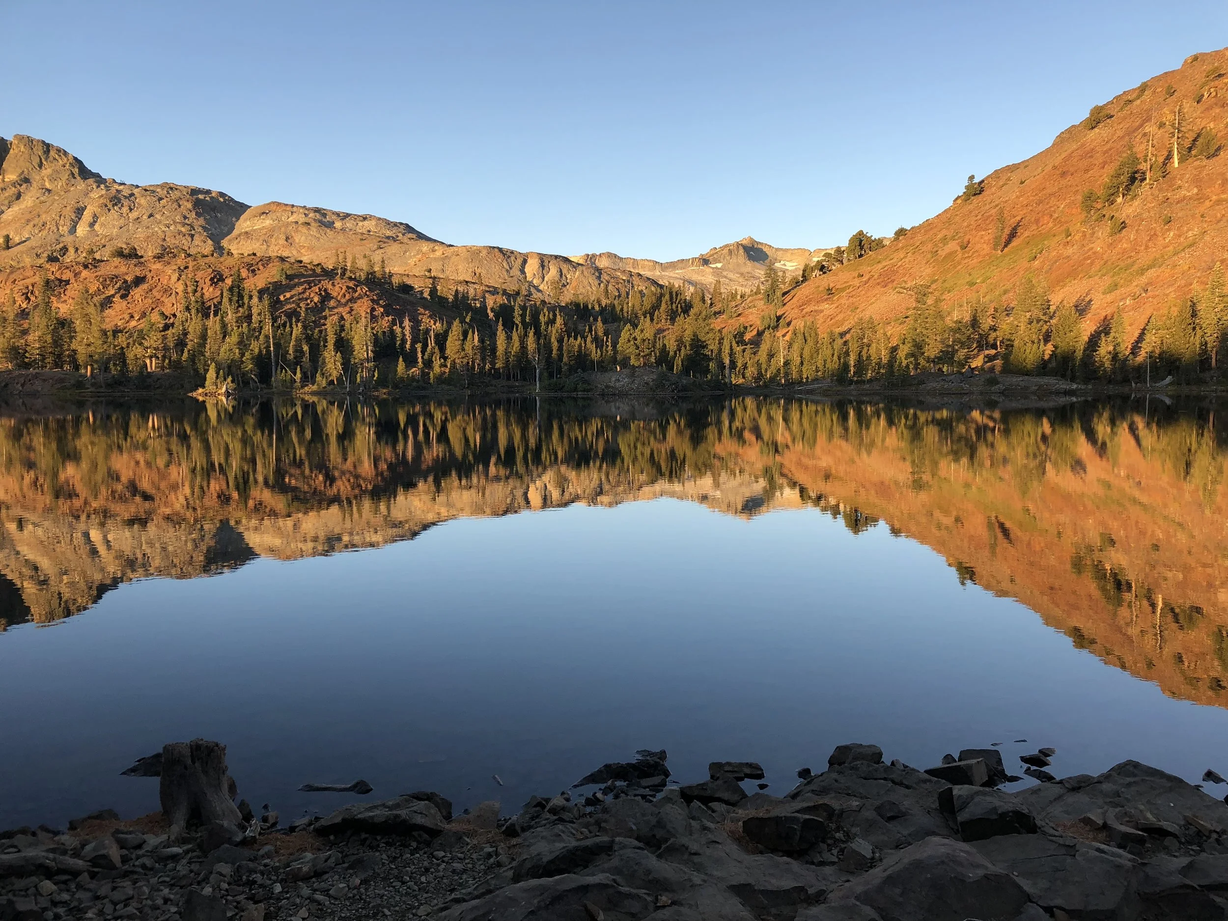
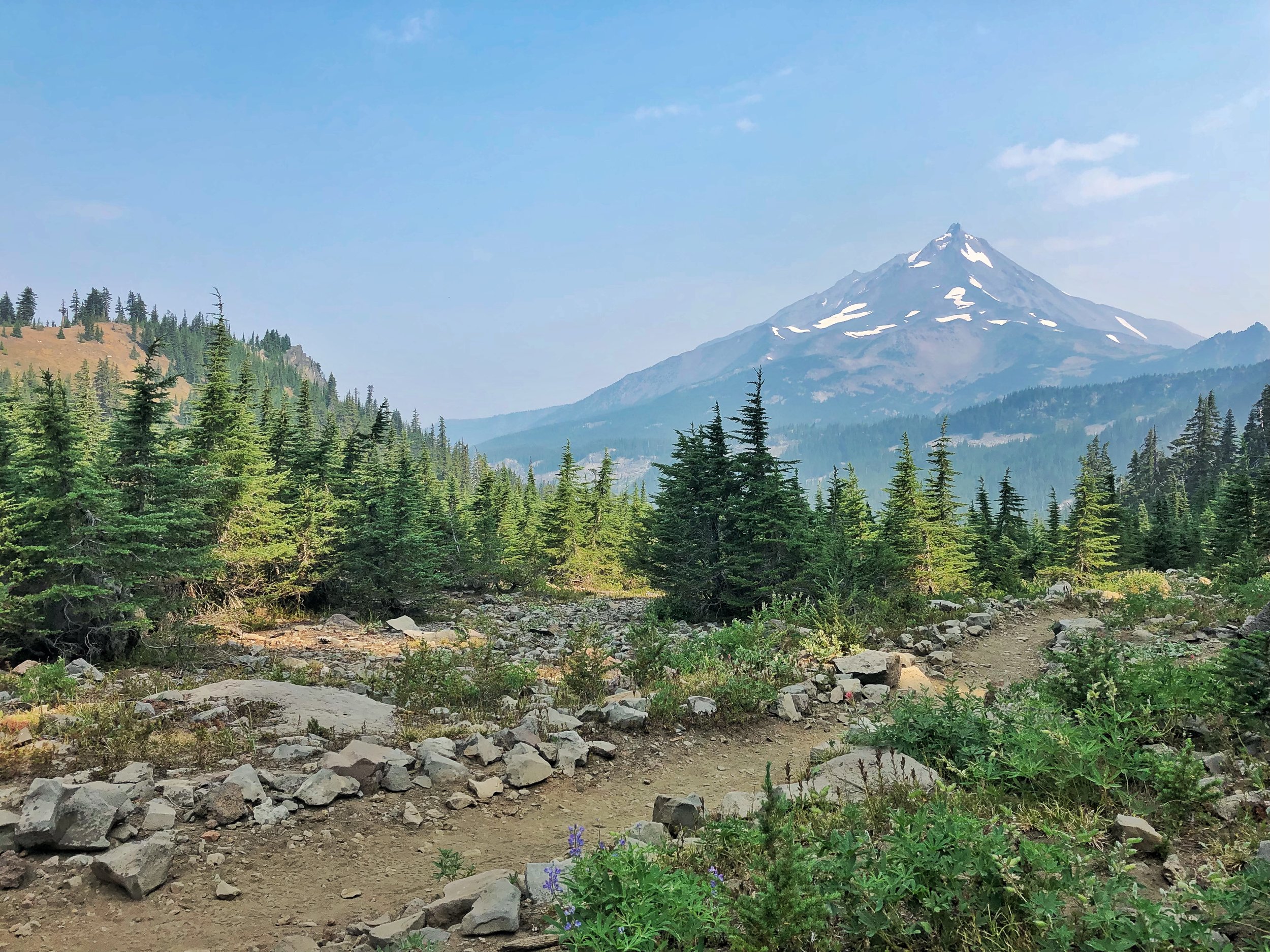
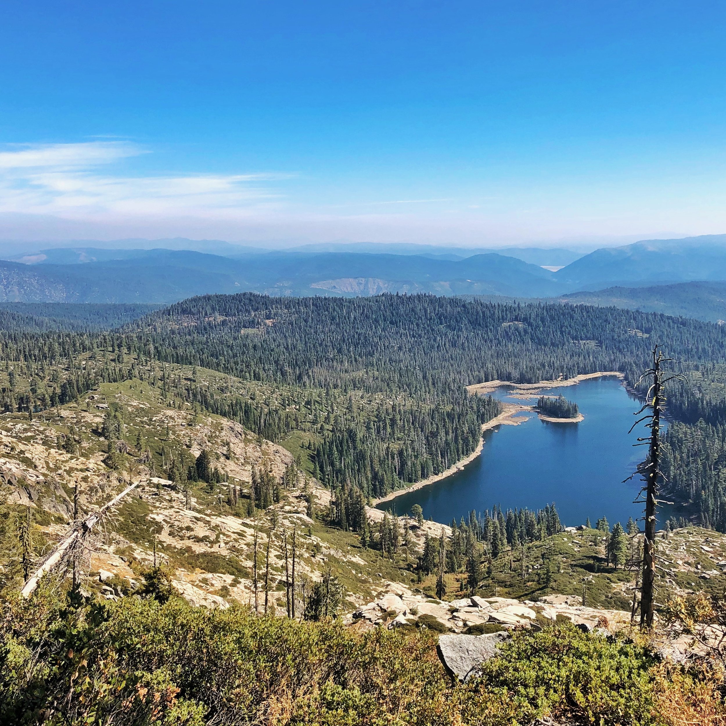
Weather
In general, the weather on the PCT is very nice, much of a SOBO hike is characterized by bluebird skies, very rare precipitation, warm but not punishingly hot temperatures, and limited mosquitos. I have broken down a general outline of weather for each state below.
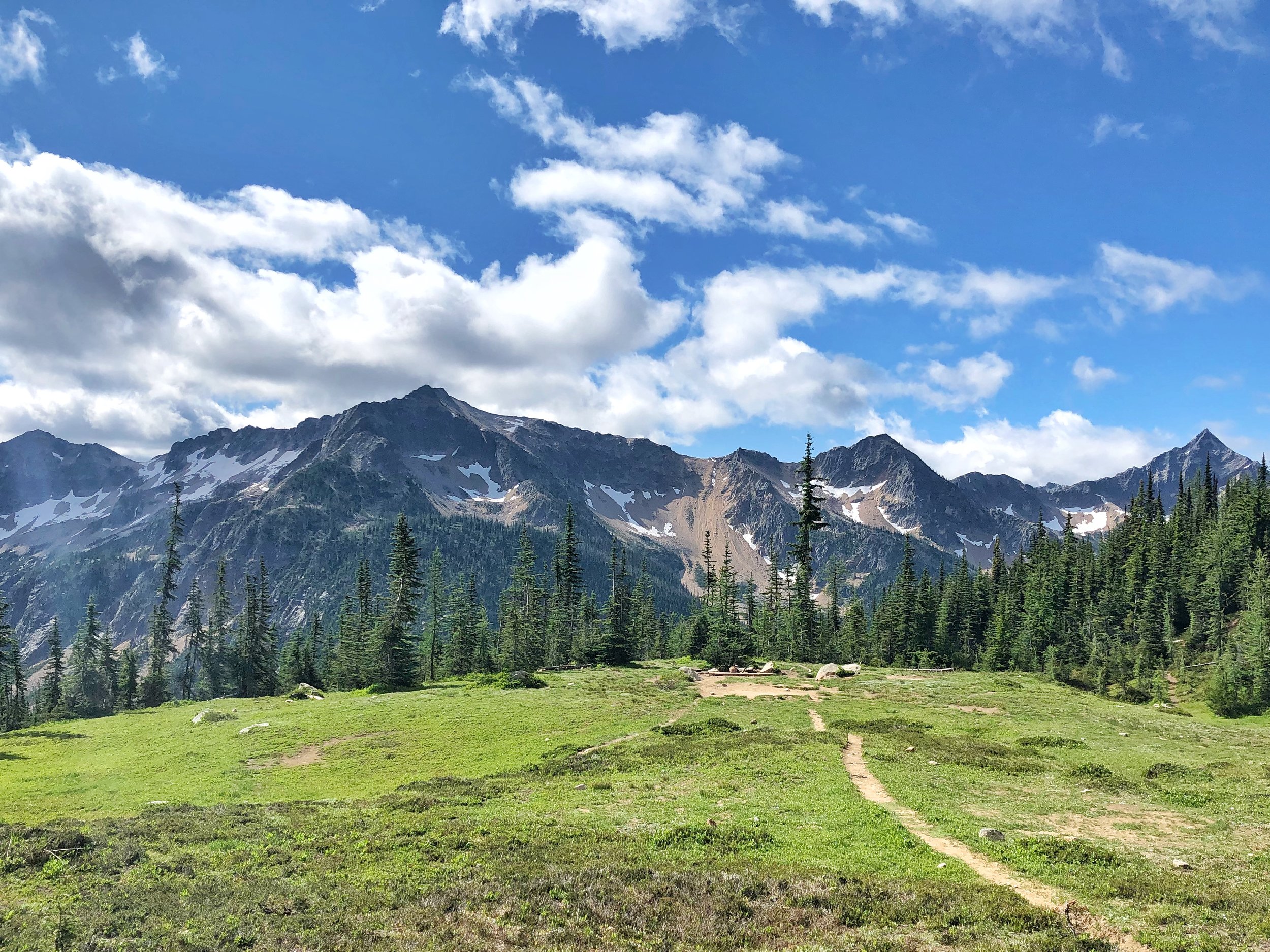
Washington
The weather in Washington in July can me a real mixed bag. Early July can still bring snow and sleet, and there can be plenty of snow still on the ground. If you start early you will be travelling through plenty of snow. Make sure you are prepared with some knowledge of snow travel. Particularly, how to kick steps and self arrest.
If you don’t know what those things are, check out this Youtube page. Its where I learned:)
By mid to late July it has turned to proper summer, with snow melting away and less precipitation. As soon as the snow melts the bugs come out. In southern Washington expect significant mosquitos. The days are warm, and the nights are generally comfortable but on the chilly side. Expect mosquitos to be wherever you pitch your tent.
Lastly, there is always threat of wildfires and fire closures, keep your ears open for any closures and check online each time you are in town to make sure you have up to date information. More on this below.
Oregon
By the time you get to Oregon mosquito season is beginning to wind down. Yes, people will complain about how horrendous they are, but thats because they hiked NOBO. Still expect the bugs, but they should lighten up substantially. They didn’t bother me at all in Oregon. The weather will be warming up and there will be very little precipitation.
Your chances of encountering wildfires and their smoke go up dramatically. You can expect a trail closure or two and some(sometimes many) days of grey, as you walk through smoke.
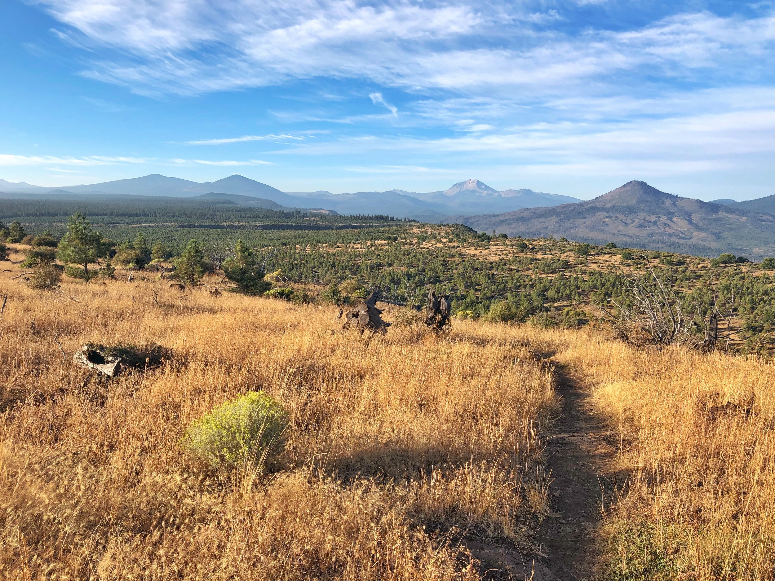
NorCal
Similar to Oregon, expect it to be very dry, sunny and warm. By the time you are there all the bugs should be gone but there will be significant threats of wildfire closures.
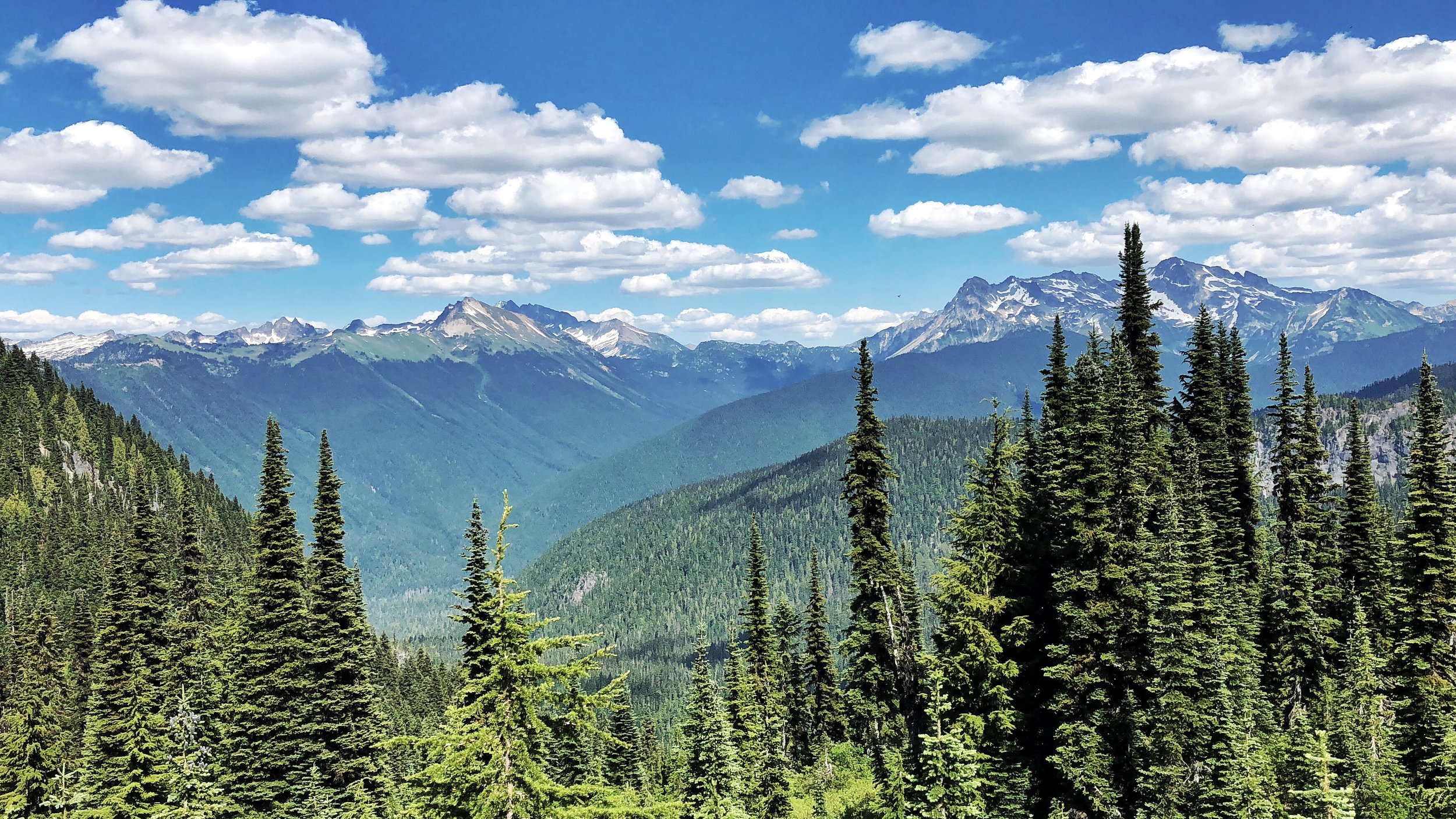
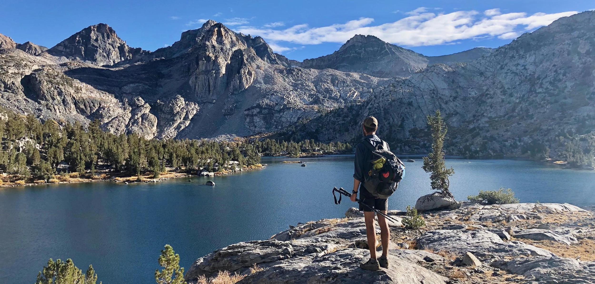
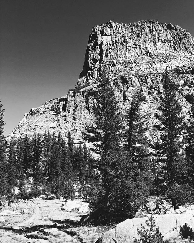
Sierras
As you march up into the Sierras you will begin to notice a change in the temperature. A combination of the fall coming on and the increased elevation will make for cold mornings, evenings and nights, but perfect hiking weather during the day. Most people will have their cold weather gear, additional baselayers, a lower degree sleeping bag, and the like, shipped to South Lake Tahoe or Sonora Pass(Kennedy Meadows North). You will want the extra warmth before heading up into the high country where temperatures can drop to the low 30s at night and sometimes lower.
There will be very few bugs if any at all. If you walked fast enough and are there before early/mid October, then there should be no snow either.
SoCal
As you come down from the Sierras temperatures will rise accordingly, but still be prepared for cold nights as November approaches, especially when at higher elevation(like near Wrightwood, Big Bear, or Idyllwild). Water is a scarcity and there are many 18-20 mile water carries. Wildfires are still a significant threat.
Wildfires
For those of us not from the West Coast, wildfire season will be eye opening. I never realized the extent of the problem wildfires are and the damage they wreak until I was on the PCT. Luckily SOBOs usually have it a little easier, getting out of Washington before the season really starts. Keep attentive to the PCTA fire-closure page to make sure you are up to date on what is burning and where.
If you have to hike an alternate, take a few days off or skip a section, don’t sweat it. Wildfires are just part of the experience of the PCT.
Lastly, please obey all regulations regarding fire while on the PCT, thousands of acres can burn from one careless mistake. Please protect our wilderness. Thanks.


Gear Considerations
In light of the conditions here are a few specific gear recommendations:
Early Season/Snow Gear
Depending on when you start, some early season/snow gear may be a good option. Early July can still bring some serious cold, if 2020’s forecasts are looking chilly as your start date approaches, consider an extra base-layer for sleeping in.
If you have no experience in snow and are starting around the time Hart’s Pass is just melting out, consider at least bringing some microspikes to aid with traction control. An ice-axe may be a great option as well. Make sure you know how to use it before you head out.
Bugs
Since you will be expecting bugs as soon as the snow starts to melt, I recommend a carrying a headnet pretty much from the start. Nothing is more frustrating than relentless mosquitos. Once the bugs die down in Oregon you can ditch the headnet to save the weight.
Here is a great option for your hike.
$3-4
Under 1oz.
Fall in the Sierras and SoCal
Most of your time in Oregon and NorCal will be quite warm and you won’t need to carry a lot of clothing or a heavy sleeping bag to stay warm. Around mid-September or early October the seasons will start to change and you will enter the highest elevation of the trail. Before you get into the Sierras you should be sure you have enough clothing and a warm enough sleeping bag that you won’t freeze at night while you are up there.
Consider an extra base layer, tights, liner gloves, a buff, a warm hat, and/or a warmer sleeping bag.
My Gear List
For the most part I was very happy with the gear I chose for my PCT thruhike. If you are interested in looking at what I carried, you can check out my PCT page here.
Resupply
Many of peoples biggest questions revolve around when, where and how to resupply. Its a pretty big topic, so I built a whole separate page for it. I have built out a pre-made complete PCT resupply plan on that page that you can copy and edit as you like as well as other resources.
Check out my PCT resupply plan here:
Still have questions?
Planning a thruhike is a lot of work. I’m happy to help answer those lingering questions! Shoot me a message (here.)
Resources
You need surprisingly little to be ready for a great hike:
My PCT Experience Page - I SOBO hiked the PCT in 2018. More on my own personal experience is here.
PCTA Thruhiking Page - Lots of quality information on the PCTA page, everything from beginning to end
Halfway to Anywhere - This guy has put in a truly sacrificial amount of time to build a treasure trove of PCT information.
Halfway to Anywhere Resupply Guide - Some background info and interesting statistics on best resupply strategies
Craig’s PCT Planner - Helps to map out where and when to resupply based on how fast and far you walk each day.
Plan Your Hike - List of PCT resupply points
John Z’s(NOBO) and Neemor’s(SOBO) PCT videos - A little entertainment and a preview of your epic adventure to come.
Feedback
Was this helpful? Was there some information missing, or something you wish I had given greater detail to? I would love to hear from you, and will improve this guide as I receive feedback. Please send me a message here!