Background
The Tahoe Rim Trail is a 171 mile trail that circumnavigates Lake Tahoe on the border of California and Nevada. From May 24th through 30th, 2018 I hiked the trail with a friend, completing the full length in eight days. The trail is maintained by the Tahoe Rim Trail Association(TRTA) which has a fantastic website with tons of resources.
I first wanted to hike the trail after driving through Tahoe one weekend in early November. The majesty of the light snow dusting, the strong gorgeous green pine and the jagged mountains were a landscape that took this easterner’s breath away. Ever since I had been planning a way to get back and see the region in true backpacker fashion.
Table of Contents
Season
Getting to and from the Trail
Permits
Maps
Camping
Resupplies
Reception
Water
Wildlife
Resources
Season
The Tahoe region is known for lots of great skiing and snow doesn’t melt totally off typically until mid-June. Things start to get cold in late September and snow begins to return to the region in October. Peak season is July and August.
Our hike was one of the earliest of the season and I would only recommend going so early for those who are up for significant snow travel. The trail is not marked for winter conditions so if you choose to go early you will likely end up doing some route finding.
The Tahoe Rim Trail Association does a good job of regularly updating trail conditions on their website.
Getting to and from the Trail
Reno, Nevada is the nearest city with an international airport. Sacramento, CA and San Fransisco are both only a few hours drive. Of course driving is an option, there are also the options below.
From Reno:
The drive is about 1 hour by car to the eastern and northern parts of the trail.
The North Tahoe Express bus service runs from the Reno Airport into North Lake Tahoe multiple times a day during the summer and winter. You will probably want to take the Red Line into Tahoe City, that is the closest drop off location to the trail.
From Sacramento:
The Drive is about 2 hours to the North and South parts of the lake.
Greyhound buses run from Sacramento to Truckee a few times a day for $40-$60. From Truckee you can catch the Tahoe Truckee Area Regional Transit (TART) bus to Tahoe City.
Uber operates in both the Tahoe City and South Lake Tahoe areas. The TRTA has lots of resources on transportation here.
Permits
There are two permits a thru-hiker will need:
Desolation Wilderness Permit
California Campfire Permit
Desolation Wilderness Permit
Desolation Wilderness is in the South West portion of the trail and the TRT runs 21.6 miles through it. It’s boarders are 3 miles north of the Route 50 Junction at mile 125.3 and then mile 146.9. It is widely regarded as the most beautiful part of the trail. To camp in this section of the trail you need a permit. They can be acquired three different ways:
1. Call Lake Tahoe Basin Management Unit’s Supervisor’s Office at (530) 543-2694. TRT thruhikers can bypass the quota system for the wilderness and do not have to select the exact place or date they will camp in the wilderness. These permits can only be issued a maximum of 14 days before you plan to camp in Desolation Wilderness so you cannot do it way ahead of time. I took this option, it was very easy and convenient. $15 processing fee per person.
2. Visit Lake Tahoe Basin Management Unit’s Supervisor’s Office in South Lake Tahoe and get your permit in person at 35 College Drive
South Lake Tahoe, CA 96150
3. Recreation.gov - You can get your permit online but I don’t recommend it because you are forced to choose a campsite and date. You cannot get the TRT thru hiker quota exception.
California Campfire Permit
Campfires are not permitted on any section of the TRT but in order to legally use a stove anywhere on the trail you need to have this permit. It is free and you can get it online after watching a video and taking a short quiz.

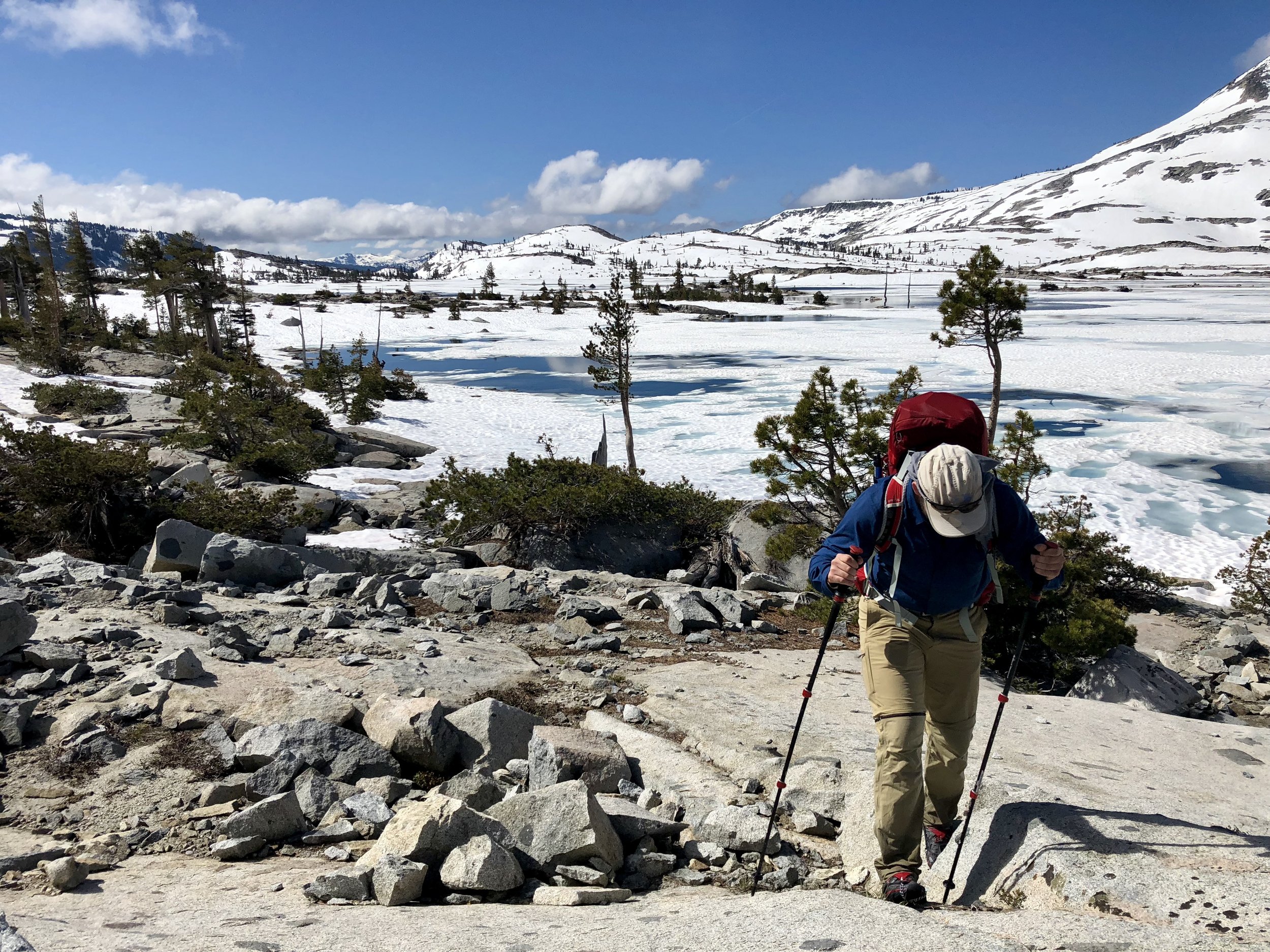
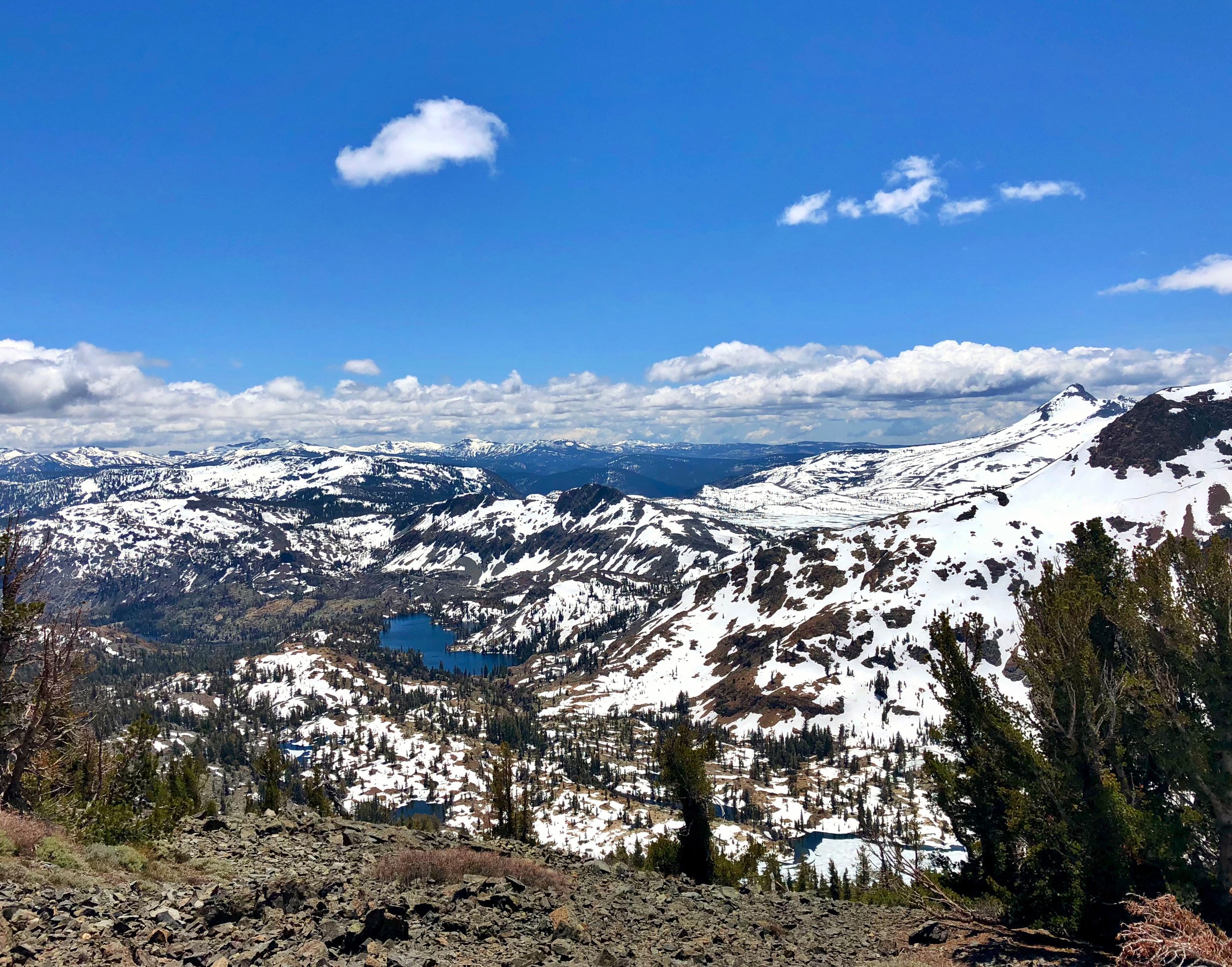
Snow & ice still melting around Aloha Lake - Desolation Wilderness

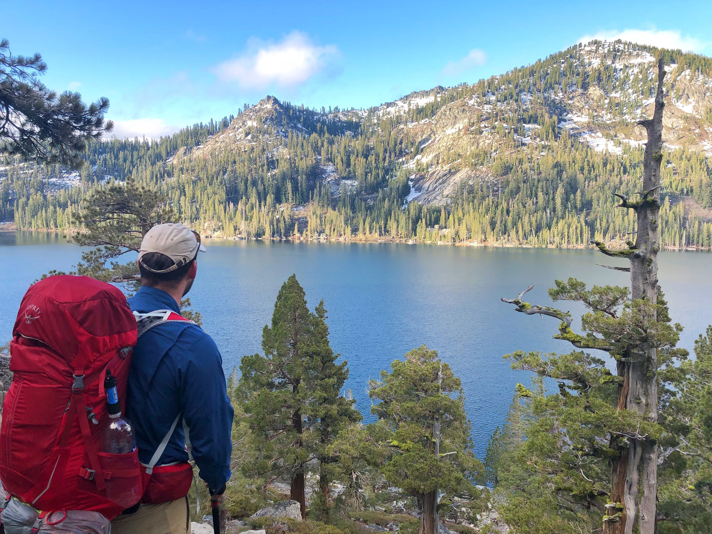
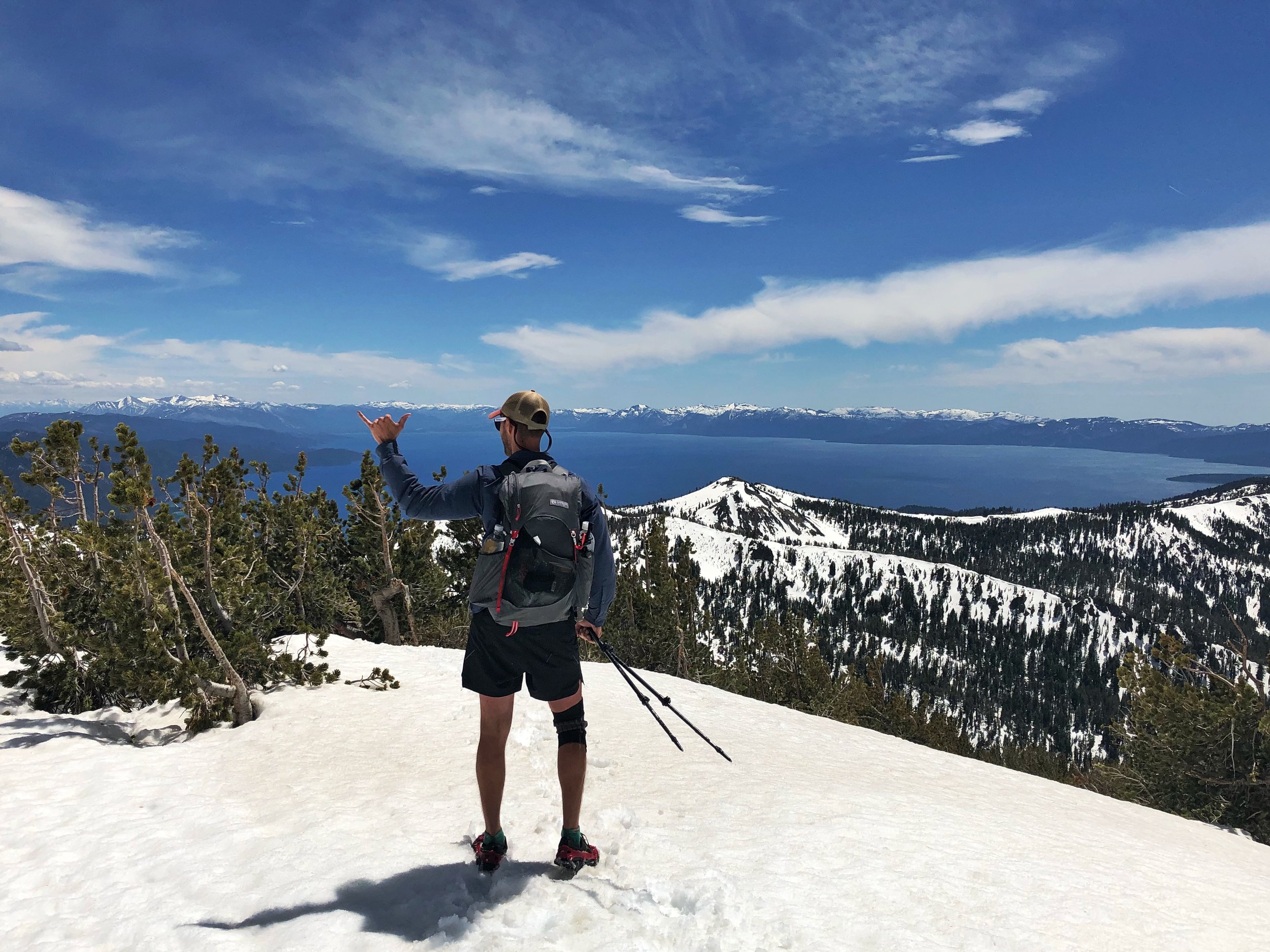
view of the lake just north of Tahoe city
Maps
In my opinion the only map you need is the Guthook’s TRT guide. It is $15 and has everything you will need, maps, elevation profiles, every waypoint and other important information. Download the app and purchase the TRT map, download it to your phone and you will be all set.
The TRTA also has an interactive map on its website as well as segment maps with contour lines for the entire trail, both resources are here.
Camping
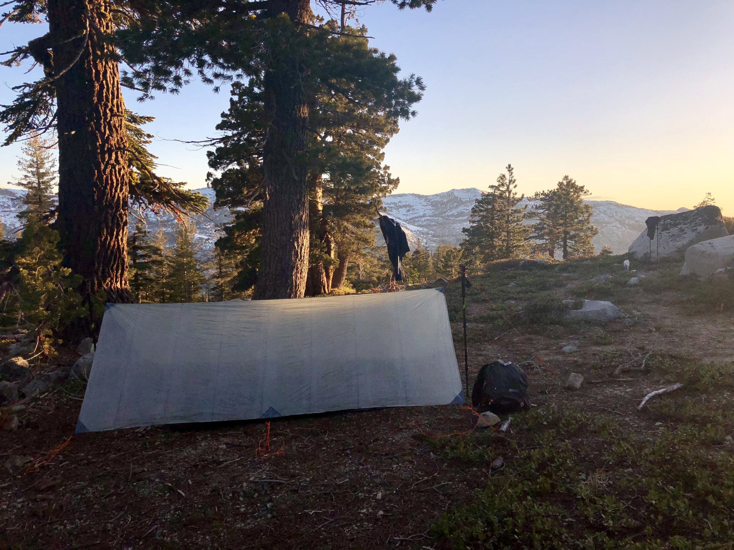
There are very few established campsites along the TRT. Most of the time you will be dispersed camping. You are required to camp within 300ft of the trail corridor and at least 200ft from any alpine lake or water source.
There is a camping restriction from miles 39.6 - 42.7. No camping is allowed except at the Mount Rose campground. An established campground with tables, bearboxs, fire pits, bathrooms and water.
No camping is allowed in Lake Tahoe Nevada State Park except for two established campgrounds. Camping is free and no reservation is required at either location. The trail runs 16 miles through the park from miles 48.4 to 63.9. The two campgrounds are:
Marlette Peak Campground - Directly on trail at mile 54.4. Has picnic tables, bearboxs, fire rings and a pit toilet.
North Canyon Campground - 1.2 miles off the trail at mile 59.4. Walk-in only. Has picnic tables, bearboxs firerings and a pit toilet.
Otherwise there are no significant restrictions!
Resupplies
The TRTA has lots of great info about resupplies on their website here. While it may seem like you have a lot of options, many of them include either, long-ish road walks, or hitching. The trail only runs directly through one town, Tahoe City.
Here is my favorite resupply strategy:
Start - Spooner Summit
Resupply 1 - South Lake Tahoe - 57 miles in.
Resupply 2 - Tahoe City - 112 miles in.
Finish - Spooner Summit trailhead - 171 miles in.
The details:
Start your hike at Spooner summit trailhead on route 50 east of the lake near mile 63. Hike clockwise.
You have about 57 miles to hit route 50 on the south side of the lake. From there you can hitch or Uber about 9 miles into South Lake Tahoe which is a full service community. (Do not road walk here. The road is very mountainous and there is no shoulder. It would be very dangerous for you and for drivers.)
Your next resupply is Tahoe City another 55 miles. The trail runs directly through the town, the grocery store is nearly on top of the trail and the post office is about a mile walk. Full service town.
Finish the last 63 mile section of the trail returning to Spooner summer.
This plan has a few advantages:
It breaks the trail up into three reasonably equal legs.
It breaks up the eastern side of the trail, which is notorious for being the driest in the summer.
You spend as little time as possible off trail handling logistics.
The disadvantage is finding a ride to and from the Spooner Summit trailhead if you don’t arrive by car. See the “Getting to and From the Trail” section above and the TRTA transportation page.

Big meadows

Southwest facing view ascending relay peak
Reception
Verizon has spotty reception throughout the trail. We had it much more often than I expected, pretty much when whenever we were at high elevation. I am unsure about other carriers.
Water
There are a few significant water carries on the trail ranging from 15-19 miles. These become more frequent once the snow melt starts to drop off, especially after July. The Guthook’s app has fairly well marked water sources and the TRTA has conservative water sources on its website.
All in all, a four liter capacity can get you through the trail, though you may get thirsty at times. A five or six liter capacity would provide some extra space if you drink or cook a lot. Most of the time you will only need one or two liters in use so a platypus bottle would be a good pick for when you do need need the extra space.
Wildlife
I had very few encounters with wildlife over my hike and they were never aggressive when I did see anything. That being said there are two considerations this guide would not be complete without.
Mosquitos are notorious for getting pretty bad in sections of the trail. Just bring a headnet, DEET and some light trekking pants if you want them.
Black bears are also prevalent in the region and because of Tahoe’s reputation as an outdoors destination, they are used to people and know that they bring food. A canister is not required on the trail but some form of odor proofing is. We didn’t see any bears on our trip but we saw many signs of them. Be sure to cook where you do not camp and secure your food.
Resources
One can easily plan a trip using only the TRTA website, the Guthook’s app and Google Maps. I didn’t use anything else and I don’t think they are necessary so I won’t recommend anything else.
If you would like to see other content or have further questions feel free to contact me! Happy trails!

A southwest facing view in northern desolation wilderness

a very swampy Page Meadows